
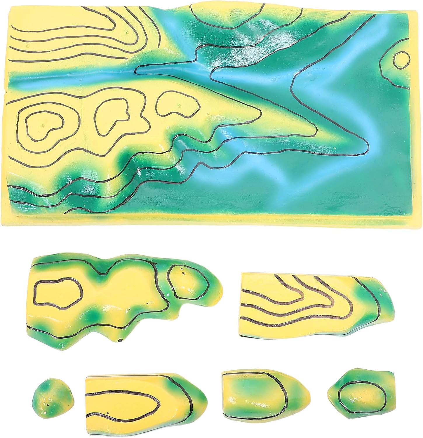
SUPVOX Geography Contours Line Map: Landform Demonstration Tool Teaching Terrain Model - Hands-On Contour Map for Students Science Class Homeschool Classroom Learning
Product details
| Management number | 222407252 | Release Date | 2026/05/04 | List Price | US$20.36 | Model Number | 222407252 | ||
|---|---|---|---|---|---|---|---|---|---|
| Category | |||||||||
Description This terrain map teaching aid is a DIY contours line mapping kit that promotes interactive learning in geography classes. Its 3D plastic topographic map design offers a realistic view of elevation and terrain, making it a valuable geography teaching tool. suitable for science fair projects or classroom maps, it enhances understanding of physical geography and boosts student engagement. Features -Color:Assorted Color -Material:PVC -Size:45.00X23.50X15.00cm/17.68X9.24X5.89in -Realistic landform visualization: the educational landform model for kids accurately represents terrain features, helping students understand geography concepts intuitively -Interactive geography lessons: this classroom topography map encourages hand exploration, making geography learning for students more engaging and effective -Durable and reliable design: made from plastic, the 3d plastic topographic map ensures use, ideal for school geography lab equipment -Supports diverse learning methods: the terrain map teaching aid is compatible with various teaching approaches, including study preparation and science fair projects -Detailed contour representation: the contours line model provides a clear view of elevation changes, making it an essential geography teaching tool for classrooms and homeschool settings
- Realistic landform visualization: the educational landform model for kids accurately represents terrain features, helping students understand geography concepts intuitively
- Interactive geography lessons: this classroom topography map encourages hand exploration, making geography learning for students more engaging and effective
- Durable and reliable design: made from plastic, the 3d plastic topographic map ensures use, ideal for school geography lab equipment
- Supports diverse learning methods: the terrain map teaching aid is compatible with various teaching approaches, including study preparation and science fair projects
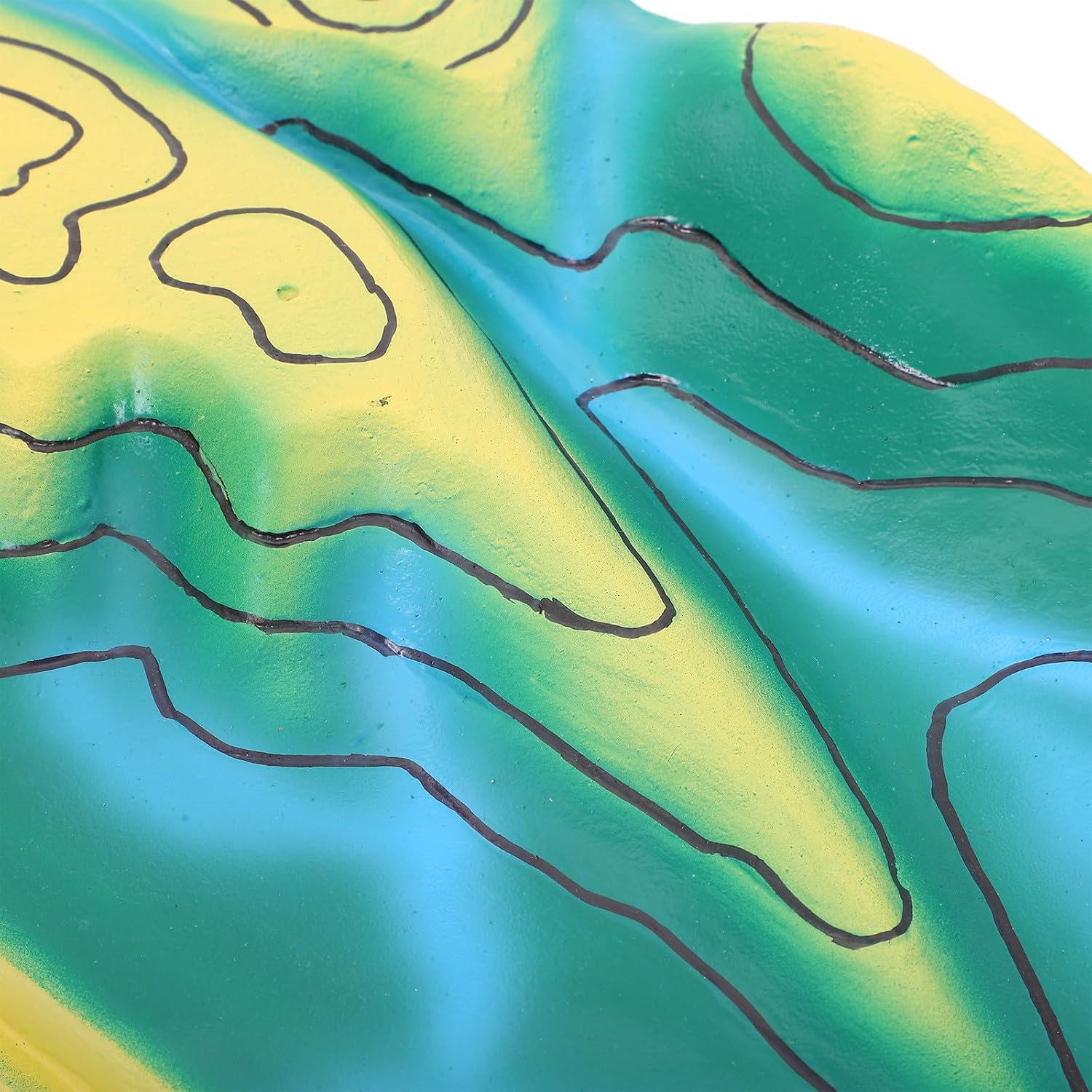
- Detailed contour representation: the contours line model provides a clear view of elevation changes, making it an essential geography teaching tool for classrooms and homeschool settings
| Size | 45.00X23.50X15.00CM |
|---|---|
| Brand Name | SUPVOX |
| Item Weight | 2.1 Pounds |
| Manufacturer | SUPVOX |
| Model Number | L12Y924252OYC5WPFVOJ11UTM |
| Material Type | PVC |
| Item Dimensions | 17.72 x 9.25 x 5.91 inches |
| Included Components | geography map |
| Is Assembly Required | No |
| Age Range Description | Adult |
| Educational Objective | Coding Skills |
| Manufacturer Part Number | L12Y924252OYC5WPFVOJ11UTM |
| Manufacturer Minimum Age MONTHS | 36 |



Bestseller ranking
Science Kits & Toys


Customers who viewed this product also viewed
General


Correction of product information
If you notice any omissions or errors in the product information on this page, please use the correction request form below.
Correction Request Form